Elevation data for exercise tracking apps
GPXZ is an API for elevation data: you provide coordinates and we calculate the altitude of those points using our our high-resolution elevation dataset.
GPXZ works with exercise tracking apps, helping them use elevation data to offer more value to their users.
Uses for elevation data
High-quality elevation data has a number of uses for exercise tracking:
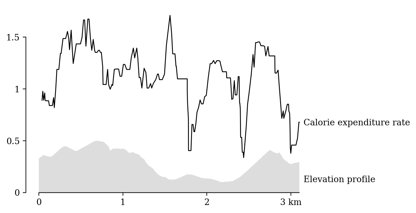
- Display elevation profiles and calculate calorie usage.
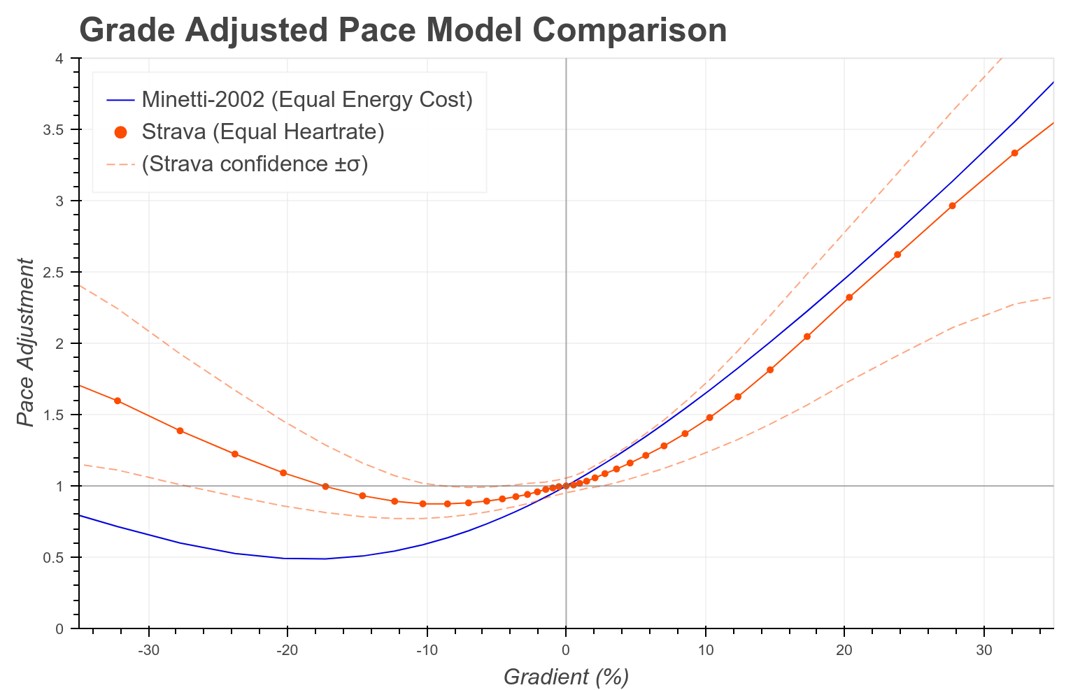
- Calculate grade-adjusted pace.
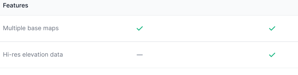
- Support devices without onboard altitude capability.
- Enhance low-quality elevation data due to poor signal, older devices, or on-device space constraints.
- Offer enhanced elevation as a paid-only feature, to incentivise subscription for data-driven athletes.
GPXZ vs .gpx and .fit files
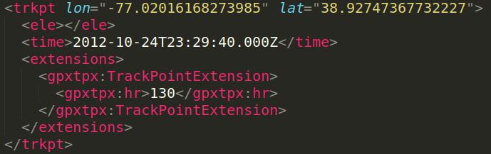
- Not all devices support elevation data in activity files.
- On-board elevation calculation often uses low-quality datasets unsuitable for small-scale analysis, barometer-derived elevation (which drifts with atmospheric change), or requires an internet connection during the activity.
GPXZ vs Google Maps API
- Support We’re a small company: the developer of the dataset and the API is just an email away for issues and advice.
- No restrictions: You’re free to use the elevation data how you want: there’s no restrictions around caching or displaying next to a map.
- Predictable pricing: Pay a fixed monthly fee, no surprise bills.
- Full accuracy: Bulk/batch queries are returned with full accuracy, unlike Google Maps.
- High quality: Google’s data is of decent quality but not without issues: there’s noise, poor coverage outside of large US cities, and coastal artefacts.
GPXZ vs self-hosting
- Reduced cost: High-resolution datasets need big expensive servers: the GPXZ dataset is 8TB in the US alone.
- More reliable: GPXZ runs on multiple load-balanced servers in the US and in the EU. Failed requests are automatically retired on a healthy server.
- Quality data: Open datasets like SRTM and Mapzen are low resolution (so omit small hills), low quality (so contain spurious spikes and noise), and are out of date (so don’t account for recent earthwork and bridge construction).
- Easy to use: Our API is simple to use and well documented.
If you’re interested in high-quality elevation data, you can sign up for free to try out the API, or send me an email at [email protected]!